


Birkrigg Common contains a rich, and relatively undisturbed, archaeological landscape with visible features ranging from the Bronze Age, through the Agricultural Revolution, to the Second World War.
The prehistoric sites are mostly funerary in nature. The common hosts a minimum of five round cairns and a bowl barrow, with several more potential cairns discovered in recent years. Many of the cairns were excavated by the North Lonsdale Field Club in the early 20th century, details of which can be found in CWAAS Transactions. These excavations revealed a variety of different funerary practices including partial inhumations and cremations with and without urns. A small number of grave goods were found, interpreted as stone tools and a bronze tattooing awl by the excavators, and in the case of the Appleby Hill mound, 30 pairs of deliberately placed coloured pebbles.
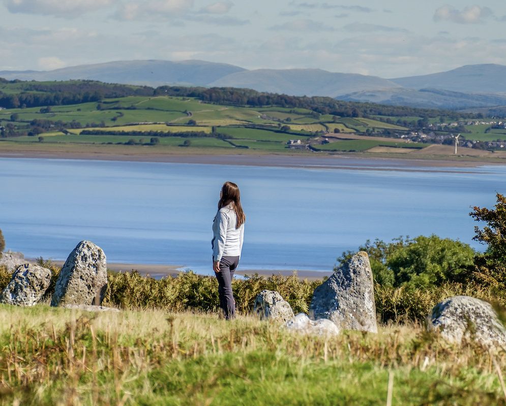
The most well-known site on the common is the stone circle, formerly known as the Druid’s Temple. This is a rare example of a concentric stone circle, of which there are only fifteen examples in England. The site was partially excavated in 1911 and 1921 again reported in CWAAS Transactions. Five cremation burials were discovered, three of which were found within pits showing signs of burning. The cremations were sealed under two layers of cobbles. One of the cremations was buried with an urn and artefacts that have been identified as knives and pigment palettes were found in the outer circle, along with a small piece of ochre.
The largest, but most ephemeral prehistoric features on the common are the two enclosures on Appleby Slack. The smaller is a pear-shaped, turf covered bank of limestone which survives up to 4m wide and 1m high and encloses an area c.40m by 35m, with an entrance on the eastern side. This has been described as a settlement, and traces of three hut circles have been recorded within the enclosure. The larger enclosure is a fairly poorly defined feature measuring c.105m by c.75m. The Historic England listing for this feature describes it as a stock enclosure, defended by a turf-covered bank of limestone rubble up to 5m wide and 0.4m high. It has a small circular depression that has been interpreted as a dew pond.
Six of the Bronze Age sites are designated as Scheduled Monuments, and until recently three of these were on the Heritage at Risk Register, including the stone circle and the settlement site.
Since 2015, volunteers from Morecambe Bay Partnership and Cumbria Wildlife Trust have been carefully clearing vegetation, primarily bracken, away from the immediate area of these monuments. Most of the volunteer team use hand-held slashers to bruise the bracken stems, damaging the plant enough to stop it sending energy back to the rhizome in winter, but not enough to trigger the growth of new fronds. Denser stands of bracken, which haven’t previously been managed, are cut with a strimmer. Each year less bracken has grown back improving the visibility of the features.
Thanks to the incredibly hard work of the volunteers, the banks of the settlement enclosures and the outer ring of the stone circle, which were previously hidden beneath a dense canopy of vegetation during the summer months, are now visible all year round. Grassland flower species are establishing themselves in the open areas increasing the biodiversity of the common.
The reduction in bracken growth has allowed Historic England to remove the sites from its Heritage at Risk register as fewer rhizomes are spreading underground causing damage to any buried archaeological features. The project has also improved awareness and understanding of the Scheduled sites considerably, enabling regular users and visitors to the Common to see and understand the ancient nature of the landscape.
In recent years, although a strong, dedicated team of volunteers has continued, many of the original strimmer users have had to take a step back from the activity. This has made it difficult to tackle areas of denser growth. Thanks to generous funding from CWAAS and the Ulverston CGP Trust Fund, we organised a training course for our volunteers to learn how to use and maintain the machines safely and the work to tackle the areas of denser bracken has now begun again.
More information on Birkrigg
Read more about this fascinating place
Visit Recording Morecambe Bay here